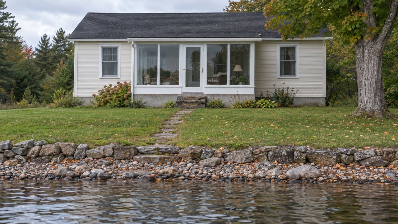
On October 13, 2026, the City of Syracuse measured Skaneateles Lake at 860.72 feet. That is about two and a half feet below where the lake stood in late May. It is also already below the lowest point the city's own management range sets for any month of the year. The same reading shows Syracuse's water intakes pulling 43.14 million gallons a day, while the dam sent only 7.89 million gallons a day down Skaneateles Creek.
Add those two together and roughly 85 percent of the water leaving the lake that day went to city taps.
Full by Design in May
The lake level is managed by the City of Syracuse through the dam at the lake's northern end, as the Skaneateles Lake Association explains. The city's approach is laid out on the Skaneateles Lake watershed data page. It works within a Desired Range approved by the New York State Department of Health in a June 1992 report and tied to the city's June 28, 2004 filtration avoidance conditions. The range sets a high and a low elevation for every month. Its lowest point is 861.25 feet on February 1, and its highest is 863.27 feet on July 1 and August 1.
The spring goal is to store water. The city aims to have the lake at 863.00 feet by early June, because falling short "greatly increased the threat and problems of low water in the late summer and fall." All elevations are in Syracuse Datum, which sits 1.75 feet above the national NGVD 29 survey datum. The 863.27 mark is described as the maximum safe operating level, the point where little or no flood damage is known to occur.
This year the lake reached that ceiling. The May 26, 2026 data sheet recorded 863.27 feet, and the dam was releasing 98.50 million gallons a day to keep it from going higher. So the lake entered summer as full as it is allowed to be.
The Dam Throttles Back by August
Once that storage was in place, the city cut the dam releases back steadily, week after week. Here is how the weekly sheets track it through 2026:
| Recorded | Lake elevation, ft | Same week 2025, ft | City intakes, MGD | Dam discharge, MGD |
|---|---|---|---|---|
| May 26 | 863.27 | 863.10 | 39.51 | 98.50 |
| June 8 | 862.90 | 862.88 | 42.40 | 38.90 |
| June 22 | 862.85 | 863.17 | 43.75 | 18.75 |
| August 3 | 862.35 | 862.23 | 43.59 | 8.87 |
| August 24 | 861.61 | 861.32 | 43.88 | 8.44 |
| September 8 | 861.43 | 861.69 | 44.04 | 8.49 |
| September 21 | 861.47 | 861.10 | 43.63 | 8.36 |
| October 5 | 860.95 | 860.78 | 43.76 | 8.03 |
| October 13 | 860.72 | 860.65 | 43.14 | 7.89 |
Look at the two right-hand columns. The intake figure barely changes. From late May to mid-October it stays between about 39.5 and 44 million gallons a day. The dam figure falls by more than 90 percent, from 98.50 to 7.89. By early August, the dam was already running under 9 million gallons a day, and it has stayed there since.
That low setting is close to the bottom of what the outlet can do. Flows through the Skaneateles Lake outlet run from a minimum of 6 million gallons a day up to a maximum capacity of about 200. At 7.89, the dam is releasing less than 2 million gallons a day above that floor.
The city gives three criteria for setting discharge: current and forecast precipitation, historical records of lake levels and releases, and the amount of water stored in the snowpack. In a dry fall, all three point toward holding water back, and the weekly sheets show the dam doing exactly that.
Syracuse's Share of the Lake
The city's 2025 annual water quality report, dated April 2026, gives the full-year picture. The Syracuse Water Department uses about 13 billion gallons a year from the lake. The Village and Town of Skaneateles together use about 0.26 billion. About 10.5 billion gallons go out through the outlet into Skaneateles Creek to keep the lake at levels that serve "public and private water supply, storage for seasonal runoff, fishery spawning areas and recreation."
Over a whole year, Syracuse's draw and the creek release are fairly close in size. In fall they are very different. Most of the creek's annual share goes out in spring, when the dam is passing snowmelt and rain, as the 98.50 figure from late May shows. After August, the city's intake becomes nearly the only steady outflow, and it holds at roughly the same rate whether or not it rains.
That steady draw exists because of how clean the lake is. The Skaneateles Lake Association's winter feature quotes a scientist, Schulz, on how rare the setup is: "There are few lakes in the country where water doesn't have to be filtered before it is used for drinking water – definitely fewer than 5." The same management rules that protect that status are the reason the lake is low right now. The city manages the elevation partly "to reduce turbidity related to low lake levels" under its filtration avoidance conditions.
One foot of elevation on Skaneateles Lake holds about 2.836 billion gallons. The 2.55-foot drop between May 26 and October 13 works out to roughly 7.2 billion gallons. That is more than half of Syracuse's yearly use, and it has left the lake in under five months.
Last Fall Already Showed the Pattern
None of this is unusual for this lake in a dry autumn. The 2025 annual report describes almost the same fall. The lake stood at 861.62 feet on September 1, 2025, below that month's low guideline of 862.50, after September rainfall of only 2.07 inches against a 3.92-inch average. It dropped to 860.95 by October 1 and to 860.43 by October 31, with dam releases averaging 9.74 million gallons a day in October.
The decline then slowed almost to a stop. The lake fell only 0.05 feet in November 2025 and was at 860.28 on December 1. It rose to 860.40 by December 31 after above-average December precipitation. Across September through December 2025, the watershed's yield, meaning the water actually reaching the lake, averaged 18.40 million gallons a day against a normal of 47.70. Dam discharges averaged 8.17 against a normal of 20.11. So the city kept the dam close to its minimum for the rest of the year and waited for winter precipitation.
The same report shows how long that low level lasted. On January 1, 2025, the lake was at 860.75, below that month's guideline of 861.50. It was still 861.45 on March 31. April rainfall of 4.17 inches added 0.75 feet, and the lake reached 862.20 by May 1, while dam discharges were held at a minimum from January through April.
This October's readings are actually a bit higher than last year's. The October 13 reading of 860.72 compares with 860.65 a year earlier, and the October 5 reading of 860.95 compares with 860.78. Rainfall has not caught up, though. The Northeast Drought Update from the Northeast Regional Climate Center, posted October 15, 2026, reported that moderate drought had been "introduced in central New York" in that week's U.S. Drought Monitor.
What a Few Inches Mean at the End of a Dock
Two and a half feet can look small on a sheet of numbers, but it makes a real difference along a shoreline. One dock proposal that came before the Town of Skaneateles Planning Board in fall 2025 gives an example. The applicant estimated about 7 feet of water at the end of the dock at high lake level and about 4 feet at low lake level. That is one property, but it shows how much a normal year's swing can change the depth at a single dock.
The lake has gone much lower than today. Records since 1951 show first-of-month elevations as high as 865.15 feet in July 1972 and as low as 857.00 feet in March 1989, a range of 8.15 feet. This fall's 860.72 is about 3.7 feet above that record low.
There is also a limit on how fast the lake can be lowered. With good weather and soil conditions, dam discharge plus city intakes together are limited to about one inch of lake elevation per day. From October 5 to October 13 the lake dropped 0.23 feet, a little under three inches in eight days. That is far below the limit, and it fits a dam that is barely open while the city keeps drawing water.
Reading the Weekly Sheet Yourself
The city posts a one-page Skaneateles Lake data sheet most weeks, and skanlakeinfo.org links recent ones. Each sheet has the same four lines, and together they show which way the lake is heading:
- Lake Elevation, Current and Last Year's. The current figure is in Syracuse Datum. Compare it with 861.25, the February 1 low point of the Desired Range, and with 863.00, the early-June storage target.
- Lake Temperature. It was 60 degrees on October 13 in both 2026 and 2025.
- Water Dept. Intakes. This is Syracuse's daily draw. It has stayed in the low-to-mid 40s all season.
- Dam Discharge. When this reads in single digits, the city is holding water in the lake. When it climbs back toward double digits and beyond, as it did at 98.50 in late May, the lake has more water than the city wants to keep.
When the dam number starts rising again, the watershed has finally caught up on rain or snowmelt. In 2025, dam discharges stayed at a minimum from January through April and climbed from 6.92 to 138.23 million gallons a day during May.
If you own on the water and want to talk through what this fall's lake levels might mean for a sale, a purchase, or simply planning ahead, Katie Armijo follows these numbers for her lakefront clients every week. Request a personalized consultation and we can go through your stretch of shoreline together.